


Project Summary
Countries: Tanzania
Delivery Partner: Sokoine University of Agriculture
Project Partners: Bangor University, National Carbon Monitoring Centre, Tanzania
Principal Investigator: Dr. Kajenje Magessa, Lecturer, Researcher and Consultant in policy and natural resources governance, Department of Forest Resources Assessment and Management, College of Forestry, Wildlife and Tourism (CFWT), Sokoine University of Agriculture (SUA).
Contact: kajenje.magessa@sua.ac.tz
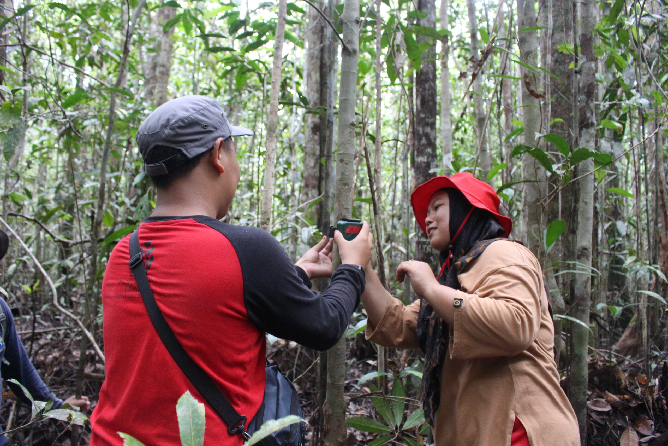
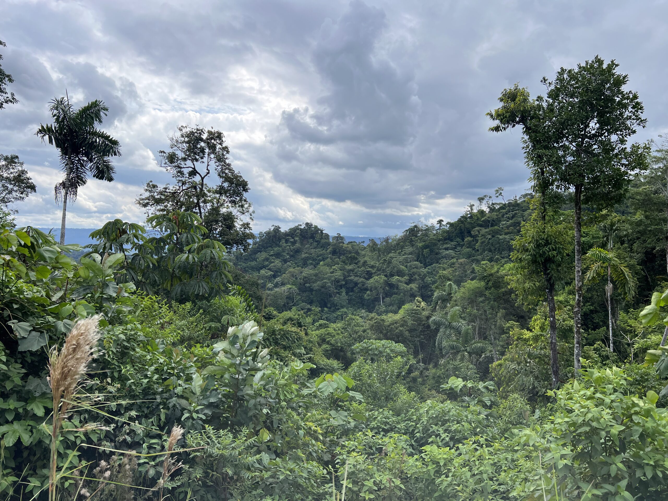
Kaboni Kwa Misitu Yetu is evaluating the economic, social and governance feasibility of accessing carbon markets to help sustainably manage village forests in Tanzania.
Challenge
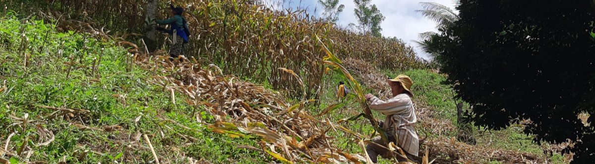
Villages manage nearly half of all forests in Tanzania but are struggling to ensure management is economically and socially sustainable. Potentially, selling carbon credits could provide vital revenues and there are some high-profile examples of Tanzanian villages accessing carbon finance.
However, the feasibility of accessing these funds is untested for most village forests: considerable economic, social, technical and governance challenges must be surmounted if this approach is to be scalable across the country. Capacity needs to be built in communities, districts and at the national level and the experiences of villages already benefitting from carbon finance need to be shared widely so that more communities can make well informed decisions about whether and how to participate in carbon markets.
Insight
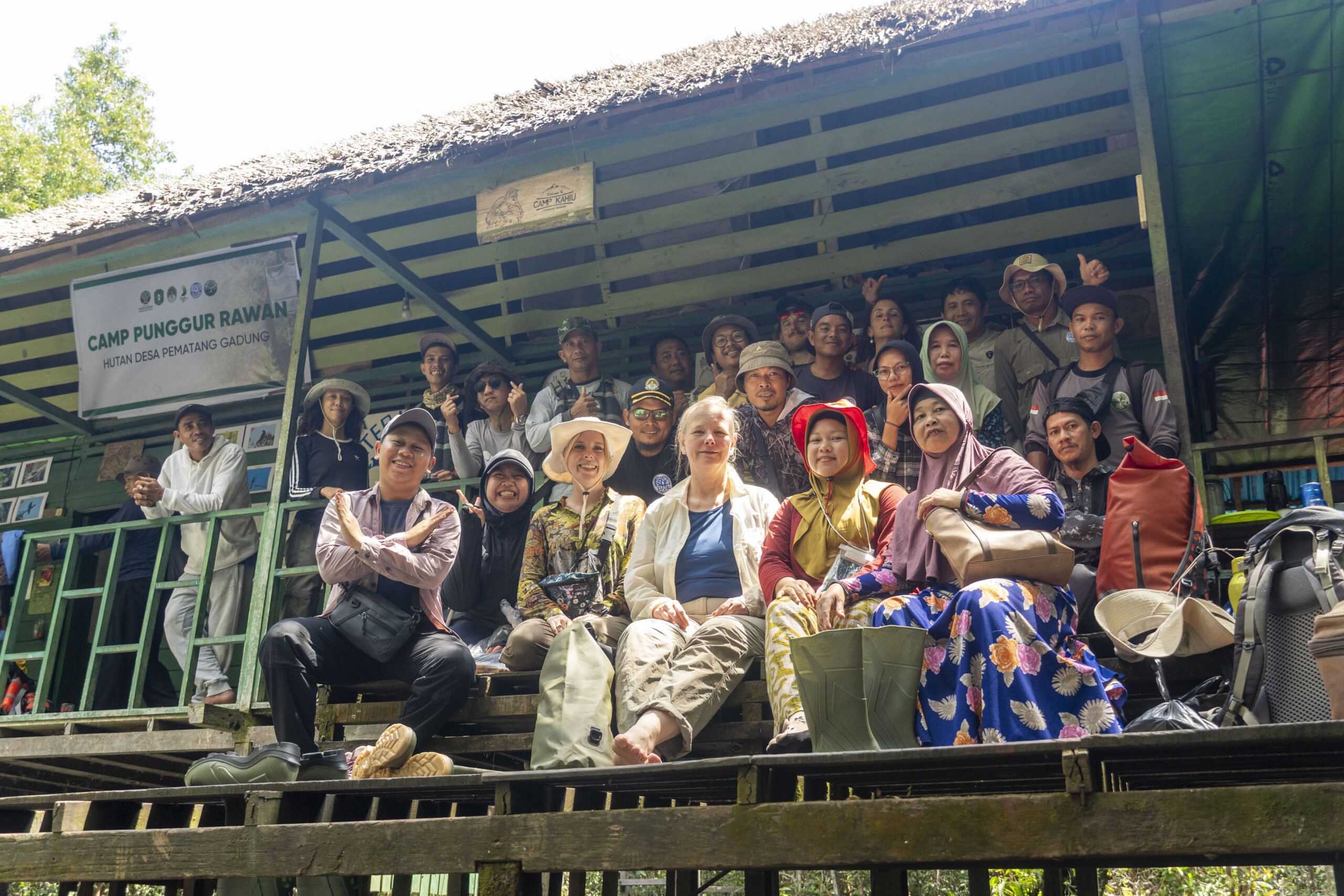
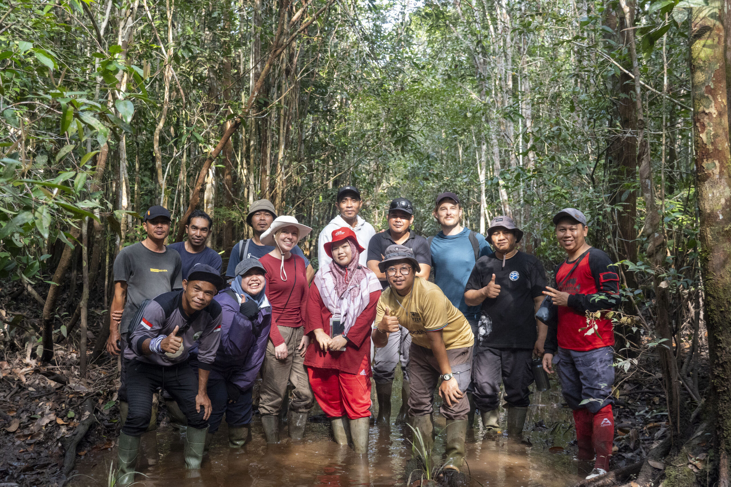
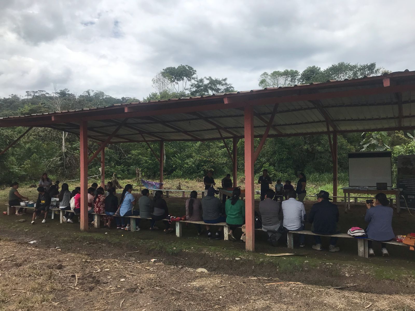
To address these challenges, we are working with communities who have expressed an interest in accessing carbon markets.
We will;
• Evaluate the economic and social viability of carbon finance for village forests;
• Assess the capacity and governance needs of communities and other stakeholders;
• Assess the potential for carbon revenues from sustainably managing village forests;
• Organise peer-peer exchanges to promote learning between villages engaged in carbon markets, and those interested in engaging;
• Recommend how national and international policy should develop to help villages capture the global benefits generated by their forest management.
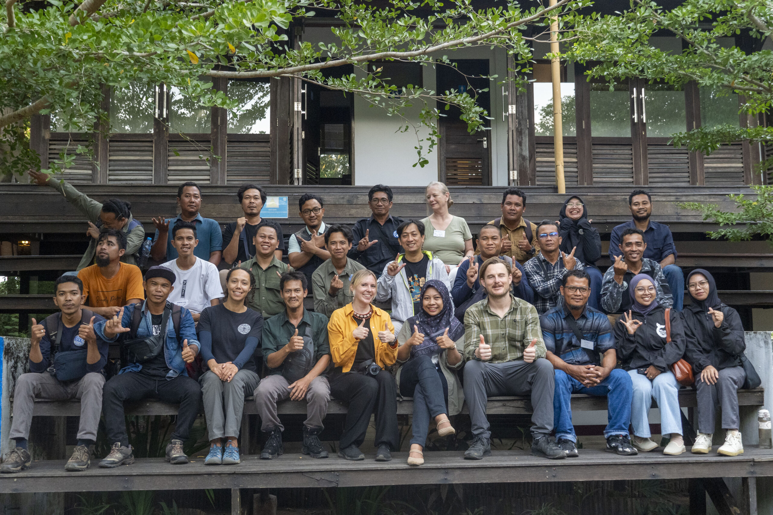
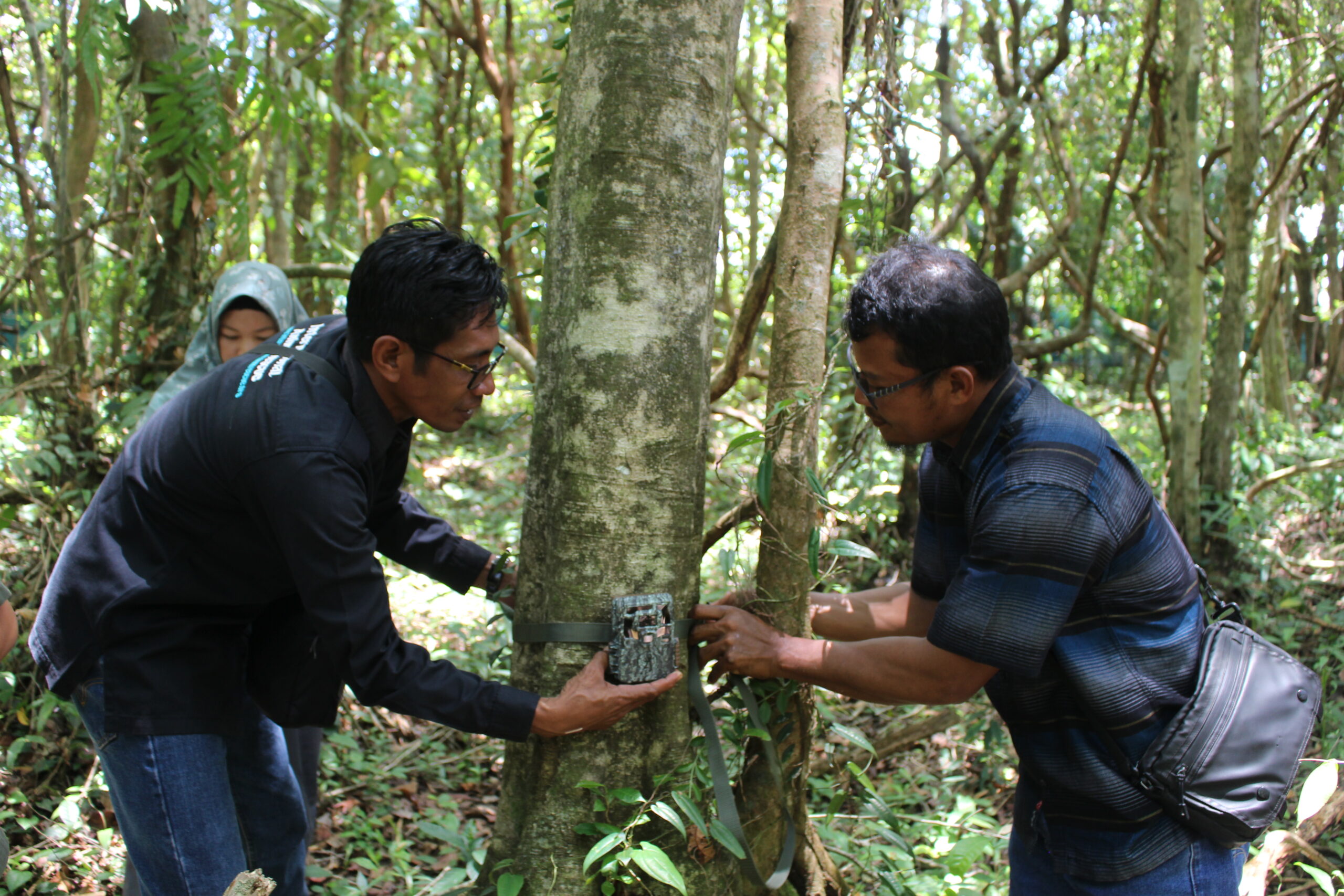
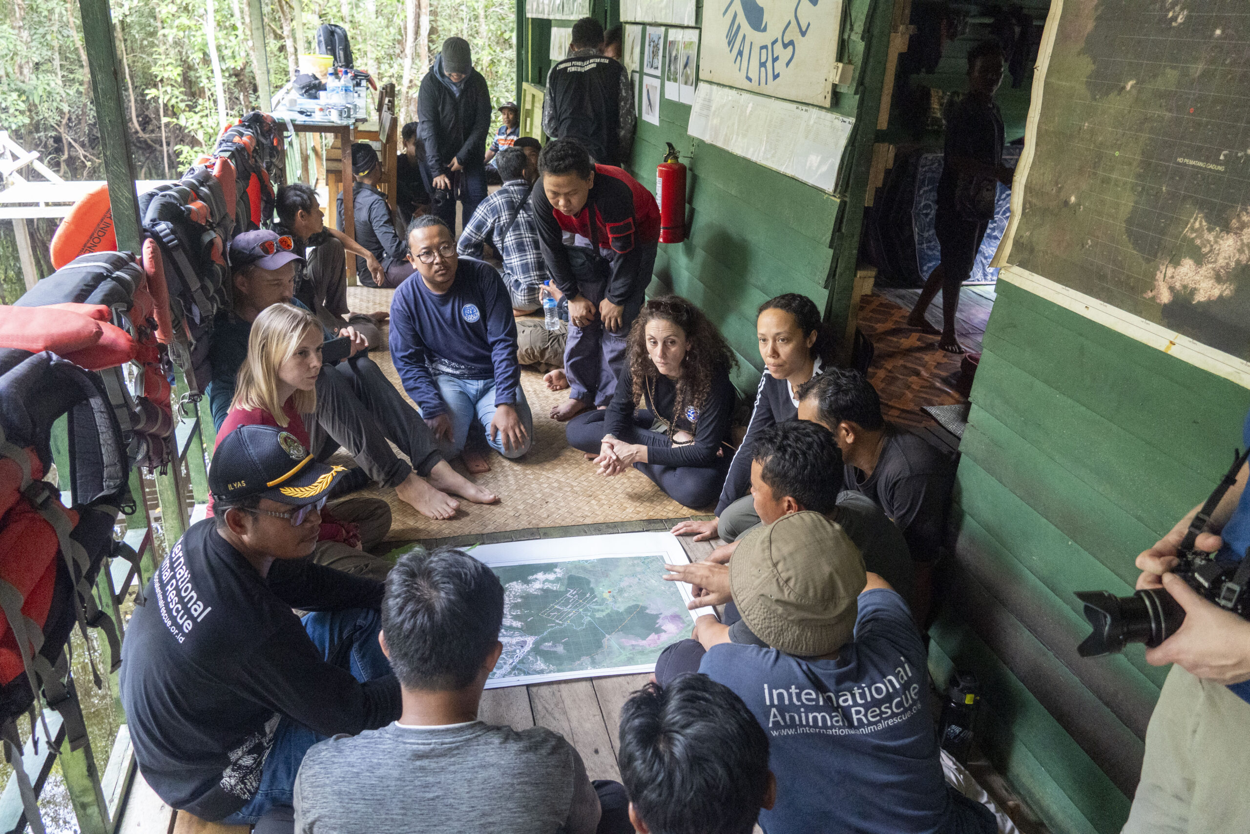
Collaboration
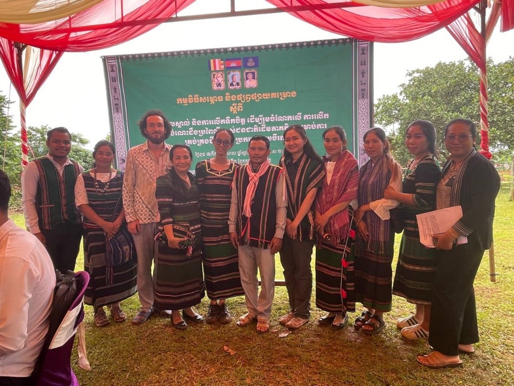
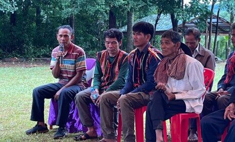
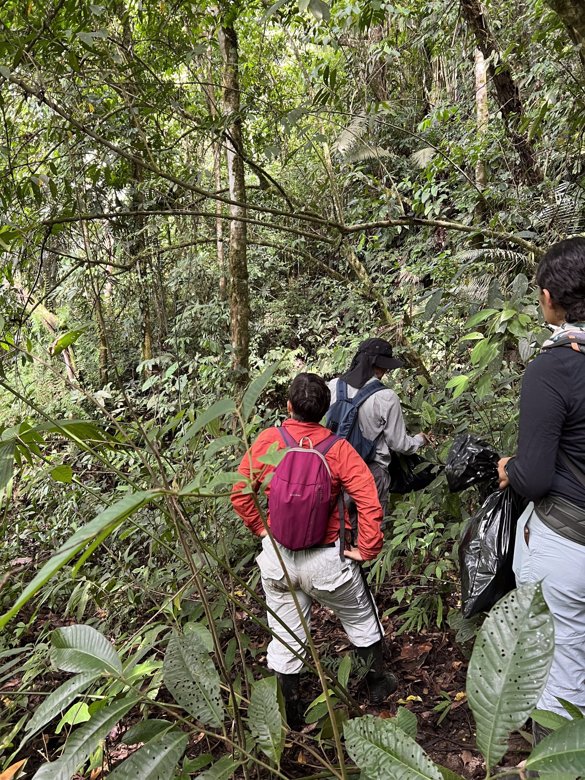
The project is led by researchers from Sokoine University of Agriculture, working closely with communities from five Village Land Forest Reserves as well as experts from Tanzania’s National Carbon Monitoring Centre and Bangor University, Wales, UK.
We aim to evaluate the viability of carbon credits as a source of funding for Tanzanian village forests, and build stakeholders’ capacity to make informed decisions about how to harness carbon markets to combat climate change, safeguard biodiversity, and alleviate poverty in Tanzania’s forested areas.
Discover More
Dr Kajenje Magessa
Dr Kajenje Magessa is a distinguished social scientist primarily focused on forests and their role in sustainable development. She has an extensive background in empirical research, across a range of topics including Participatory Forest Management, policy analysis, natural resource governance and the socio-economic impacts of conservation on rural livelihoods. Prior to her current role Dr. Kajenje served as a research officer at Tanzania Forestry Research Institute for more than a decade and has been a visiting lecturer at the University of Göttingen in Germany and Bangor University in the United Kingdom.
Photograph (detail): Laitche